
Archaeological remote sensing
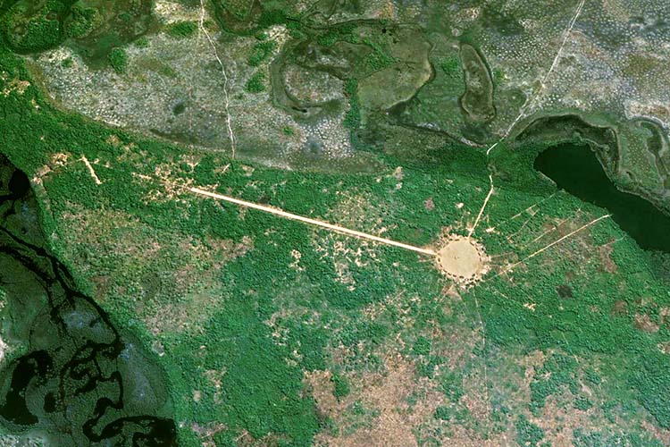
Amazonian dark earth – fertile, carbon-rich, human-modified soil – is abundant in archaeological sites. However, its spatial distribution and extent are poorly constrained due to the labor-intensive field excavations typically used to identify it. Known locations probably include substantial geographic sampling bias. Sam Goldberg and Morgan Schmidt worked with collaborators from Brazil and the Kuikuro Tribe of the Xingu region to develop techniques to use remote sensing imagery for automated detection of dark earth deposits and estimate their carbon sequestration potential.
- Goldberg S.L., M.J. Schmidt, J.D. Himmelstein, M. Heckenberger, B. Franchetto, H. Lima, J. Watling, B. Moraes, W. B. Dorshow, C. Fausto, K. Waura, H. Kuikuro, T.W. Kuikuro, A. Kuikuro, and J.T. Perron (2024). Widespread Amazonian dark earth in the Xingu Indigenous Territory. Nature Sustainability, 7, 1304–1312, https://doi.org/10.1038/s41893-024-01399-3.
